Mapit Pro is a legacy application
Please visit mapitgis.com to access latest version.
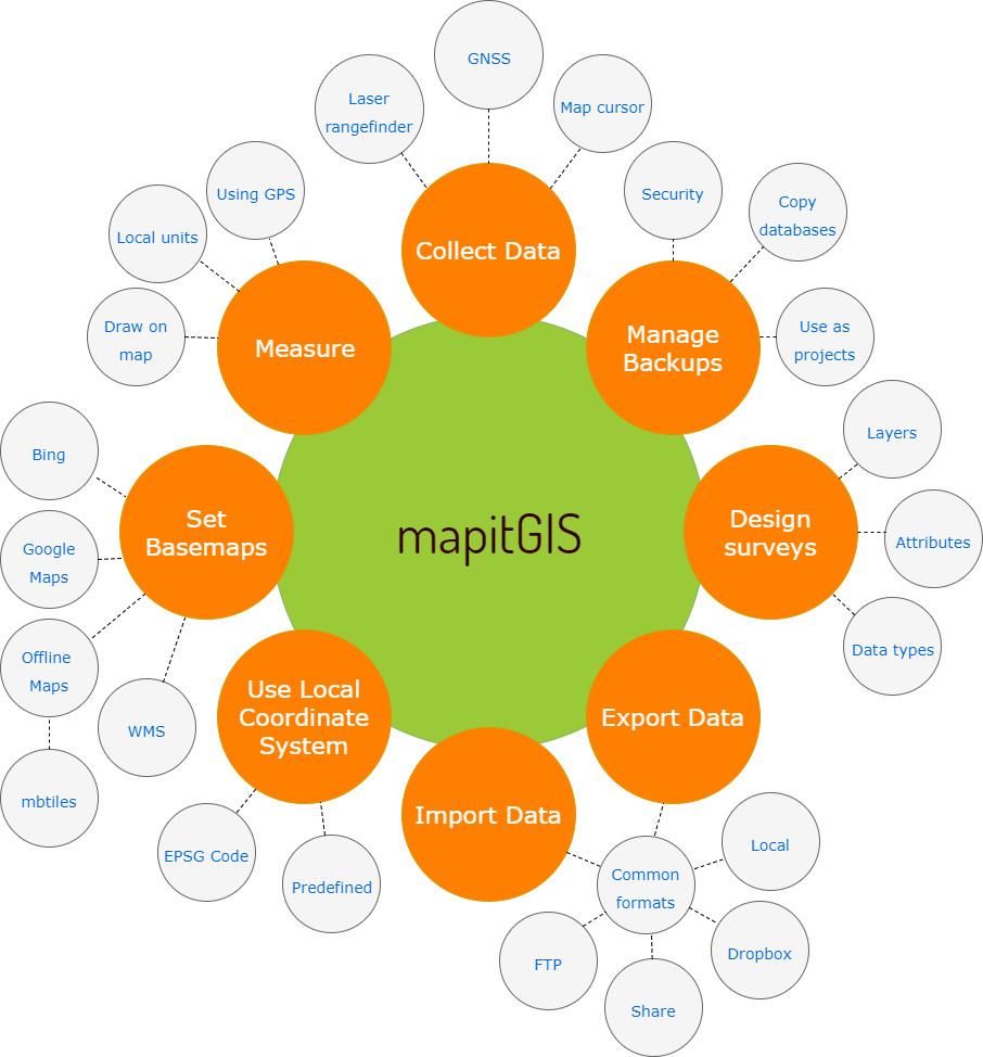
Mapit GIS – Spatial Asset Collection, GPS Surveys and Data Management for Android
Mapit is a professional, cost effective mapping and surveying tool designed to enhance productivity while you are out there in the field. The app supports common file formats for input and output and is capable to work with professional GNSS receivers so you can get a centimetre level accuracy when you need to. Design your survey forms, organise data on layers, work offline with MbTiles base-maps, access WMS services, use GPS tracking to capture your line and polygon features, record GNSS metadata and much more to discover. The app is widely used by professionals around the world and can be easily adopted for different applications from agriculture and forestry to road construction, geology, land surveying and solar panel solutions. Personalised settings and flexibility makes this app fit for purpose tool which will enhance your surveying workflow.
Below you can find content of this site grouped in few categories to improve navigation. You can also use ‘Search Site’ facility to find the topic you need.
General content:
Data management:
- Line & Polygon Layers
- Import/Export Attribute Set
- Import values
- Export Data – File Formats
- Export Data
- Backup Management
- Import from File
Map content:
- Google Maps Overlays (WMS, Arc GIS Server Tiled Services)
- Google Maps Overlays – OSM Type Services
- Offline maps & Mapbox Extension
- Generating .mbtiles from an image
- Generating mbtiles using node.js and Mapnik
Create feature options:
- MapIt – GPS Tracking
- Enable tracking for point layers
- Project Point Method
- Project Point – How to use Bluetooth rangefinder
- Geoid Height Extension
Miscellaneous: